
Location
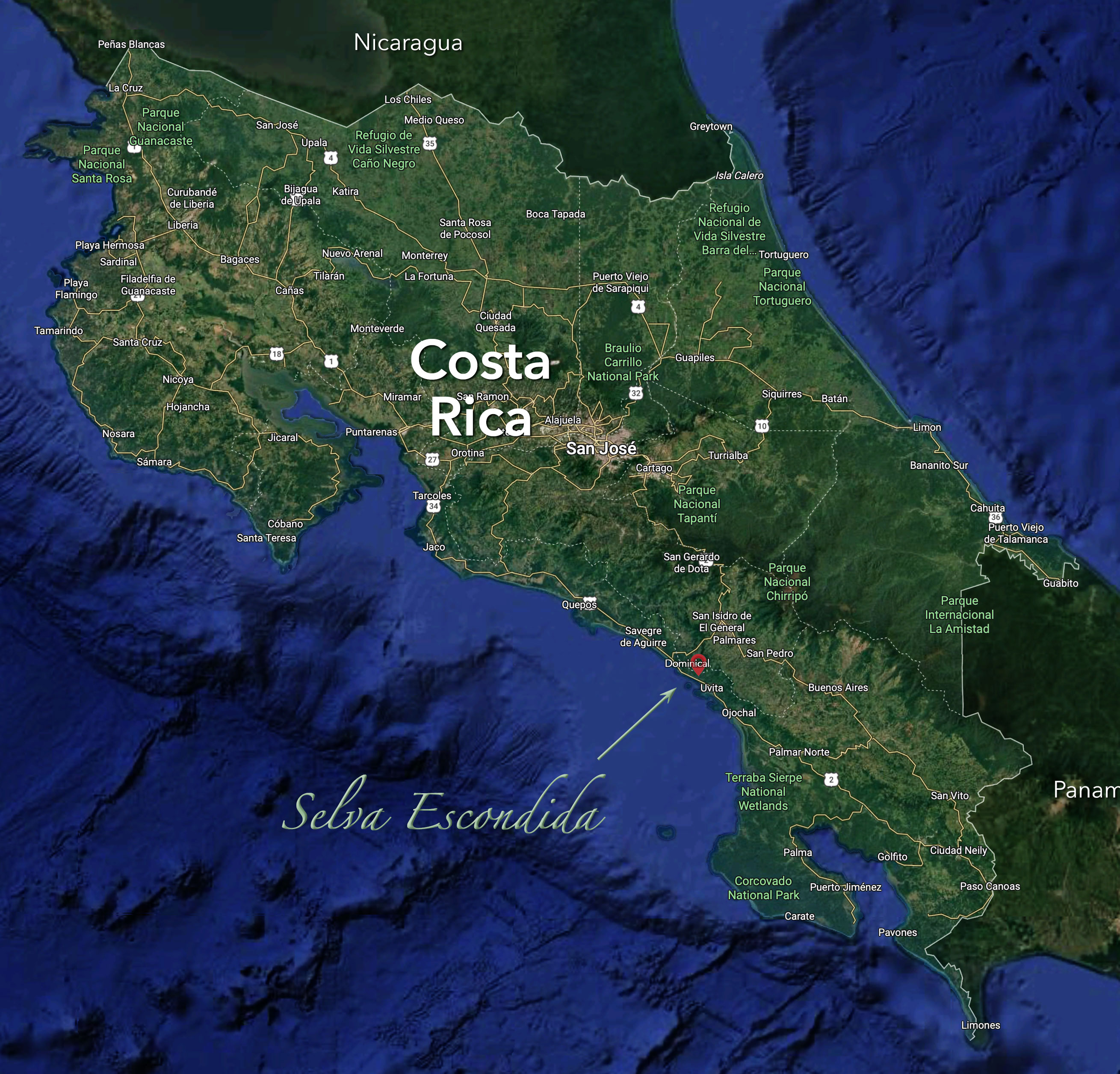
Selva Escondida is located in the Escaleras mountainous neighborhood between Dominical and Uvita in the Southern Zone of Costa Rica.
Visit here to watch a YouTube video on arriving into San Jose's international airport (SJO) and getting to Selva Escondida.
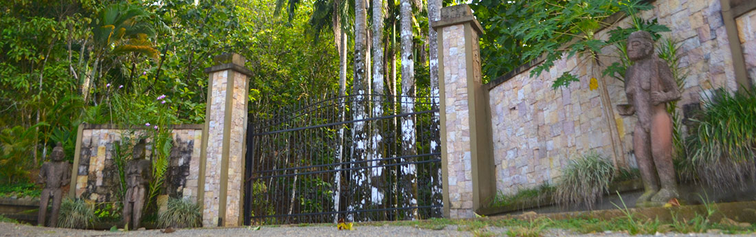
On the coastal highway between Dominical & Uvita, turn up on the Escaleras road across from Hotel Cuna Del Angel, 2km up, past Escaleras Village and look for a big large gate on the right.
Escaleras Village is where Scala, Sibu and Alexa's Market are located.
Rental cars, shuttles, buses, and regional airports
 Visit here for driving directions in Google Maps to Villa Chill located in Selva Escondida.
Visit here for printable driving directions from San Jose to our front gate.
We recommend 4WD/4x4 due to steep hills and muddy conditions after rain.
We do not have a preferred rental car agency. These results may change from time to time. If you are renting Villa Chill and are unsure how to arrive from a different location within Costa Rica, ask us to check with local taxistas. UberVan, Super Shuttle and many other independent contractors can shuttle clients between San Jose and Selva Escondida. Just make sure driver is aware the last mile can require 4x4 depending on road conditions. There are many scheduled shuttles in Costa Rica including EasyRide. Musoc and Tracopa are bus companies that both travel across Costa Rica for the budget conscience traveler.
The Quepos airport is 55 minutes north of Selva Escondida. It is possible to fly into San Jose International airport (SJO) and then take a local flight on Sansa in the adjacent local terminal. It's possible to pick up a rental car or arrange for transport if arranged in advance.
Read about the proposed interational airport for the Southern Zone of Costa Rica which would be an hour drive south of Selva Escondida.
Address
Selva Escondida
Escaleras, Bahia Ballena
Osa, Puntarenas, Costa Rica 60504
Geographic location
Latitude: 9.222′
Longitude: -83.811
Altitude
205-520 meters above sea level
Signpost

- 2km above the Costanera Sur coastal highway
- 3-hour drive from San Jose
- 60 minutes from San Isidro
- 45 minutes from Manuel Antonio
- 15 minutes to Dominical
- 15 minutes to Uvita
- 20 minutes to Cortez Hospital
- 40 minutes to Quepos Airport
- 55 minutes to Palmar Sur
- 60 minutes to Sierpe
- 2.5 hours to Drake Bay
- 2.5 hours to Osa Peninsula
- 2 hours to Caño Island